Land Logics Group uses geospatial tools and applications to advance problem solving and decision making capabilities.
Our services include data management of Geographic Information Systems (GIS) and use of Geographic Positioning Systems (GPS) and Global Navigation Satellie System (GNSS) technology.
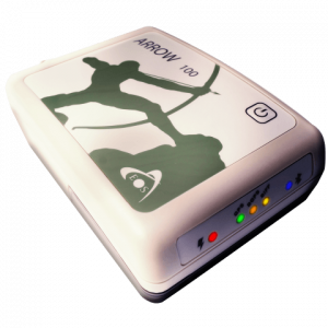
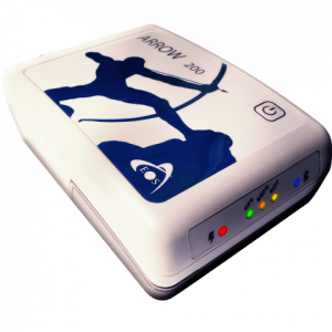
LLG is now an authorized dealer of the most innovative GNSS receivers – EOS Arrow Series for submeter GNSS positioning. We can provide not only the equipment you need but knowledgeable guidance backed by over 25 years of experience in geospatial technology applications.
Related services include:
- Map graphics to support communication of technical information to non-technical audiences
- Use of GPS/GNSS receivers for field data collection and integration of data into GIS systems
- GIS analysis to support planning efforts
- Records management support (e.g., stormwater practices, pest management, cemetery management)